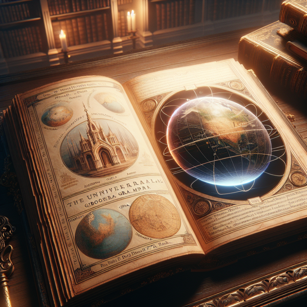
📚 A 1777 Geography Book Reveals Startling Historical Details
A rare book from 1777 called the “Universal Geographical Grammar” contains some fascinating information that differs significantly from what you learn in modern textbooks. This book was published when America was only one year old, making it a unique historical document from that era.
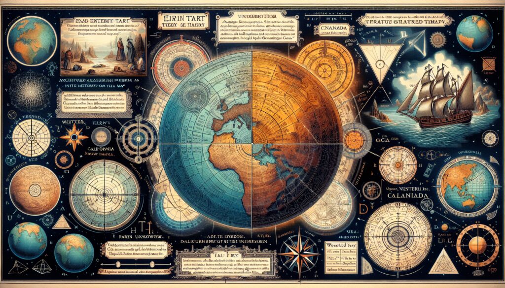
🗺️ The World Map Looks Completely Different
The opening world map in this book shows several surprising features. There’s a place called “Eastern Tartary” and “Western Tartary” marked on the map, alongside China. What’s even more striking is that the lower half of America is labeled as Florida, while the entire top portion of North America appears empty with no Canada marked anywhere.
🌍 The Transition from Flat Earth to Globe
The book contains sections about “the doctrine of the sphere” and “the artificial sphere,” which suggests this was written during the transition period when people were moving from flat Earth maps to globe-based geography. There are mathematical problems included that help people recalibrate and reconfigure how they measure distances and find places on a globe map, since everything before this used flat Earth maps.
📖 Strange Language and Typography
The book uses old-style typography where lowercase ‘f’ letters are actually lowercase ‘s’ letters. This makes reading challenging, as words like “solidity” appear as “folidity” in the text. The book contains mathematical problems about measuring globes and finding locations, suggesting people needed help adapting to spherical geography.
🏔️ Tartary Was Real According to This Book
The book casually mentions “Chinese Tartary” and other Tartary regions as if they were common knowledge. According to the author, this was before historical information was supposedly changed or removed from later books.
🌊 Different Oceans and Continents
The maps show different ocean names and configurations than what you see today. Africa is depicted with what appears to be a crocodile or dragon illustration. There’s also a region labeled “Negro Land” in Africa, which reflects the terminology used in that historical period.
🗺️ North America Had Huge Unknown Areas
The map of North America shows vast regions marked as “parts unknown.” The entire area that would become Canada, Montana, Yellowstone, and much of the northern United States is labeled this way. The book shows:
• California – marked on the west coast
• Florida – covering much of the southeastern United States
• Louisiana Purchase – shown as a large territory
• New Albion – in the upper western region
• Parts Unknown – covering all of modern-day Canada and northern U.S.
🚢 British Exploration Efforts
The book includes a section about new discoveries and voyages undertaken by the British government. It mentions Captain Cook’s expeditions to the North Pole and British rewards offered to find a route through the North Pole to reach the Indies for faster trade.
📚 Additional Historical Context
Tartary in Historical Maps: Many historical maps from the 16th to 18th centuries show regions called Tartary, referring to territories inhabited by Turkic and Mongol peoples across Central Asia and Siberia. These regions were gradually incorporated into the Russian Empire and China.
18th Century Cartography: Maps from this period often contained large areas marked as unexplored because European explorers hadn’t yet documented these regions. The Pacific Northwest and northern Canada remained largely unmapped by Europeans until the late 1700s and early 1800s.
Geographic Knowledge Evolution: The transition from flat Earth to spherical Earth models in popular education happened gradually through the 17th and 18th centuries, even though educated people had known the Earth was round since ancient times.
Colonial Era Terminology: Geographic and ethnic terminology in 18th-century maps reflected the colonial period’s language and understanding, which often differs significantly from modern geographical and cultural knowledge.