## Ancient Antarctica on Medieval Maps
You might be surprised to learn that Antarctica appears on maps created centuries before its official discovery in 1820. The Pinkerton World Map from 1813-1818 shows just a blank space where Antarctica should be, yet much older maps seem to know exactly where it is.
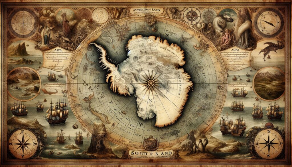
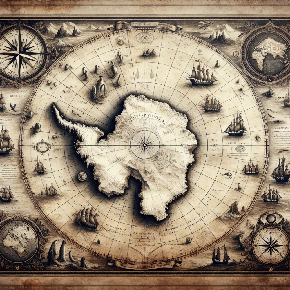
The Walle Wooler world map from 1530 clearly shows Antarctica positioned south of both South America and Africa. The mapmakers called it the “Southern Land,” and interestingly, they depicted it as much larger than it appears today. This size difference makes sense because during the Ice Age, Antarctica was indeed much bigger before ice sheets covered so much of the continent.
The mystery deepens when you consider that these 1500s maps were based on even older source materials. If nobody in the medieval period knew Antarctica existed, how did it end up on their maps with such accuracy?
## The Lost Civilization Theory
Some researchers believe these maps represent evidence of a lost civilization that had advanced knowledge of global geography. This theory suggests that an ancient culture possessed sophisticated mapping techniques and geographic knowledge that somehow survived through copies of older source maps.
The presence of Antarctica on these medieval maps, depicted with remarkable accuracy for its time, raises questions about what ancient civilizations might have known about the world’s geography.
## Additional Historical Context
### Ancient Mapping Mysteries
• The Piri Reis map from 1513 also shows parts of Antarctica’s coastline with surprising detail 🗺️
• Medieval cartographers often worked from much older source materials passed down through generations 📜
• Some ancient maps show Antarctica without ice cover, suggesting knowledge from before the last Ice Age ❄️
### Geographic Evidence
• Antarctica has been covered by ice for approximately 34 million years 🧊
• During warmer periods, parts of Antarctica were indeed larger and more visible 🌍
• The continent’s true size and shape weren’t fully mapped until the 20th century 📍
### Scientific Perspective
• Modern historians suggest these early maps might have been based on speculation rather than actual knowledge 🤔
• The concept of “Terra Australis” (Southern Land) was a theoretical landmass that cartographers believed must exist to balance the northern continents ⚖️
• Some features on ancient maps might have been artistic interpretations rather than accurate geographic representations 🎨